
%20(4).png)


Damaging storms tonight, snow possible Monday

UPDATE (5PM)
As of 5 p.m. Sunday, there are approximately 2,000 Duke Energy customers without power in Franklin, Ripley, Dearborn and Jennings County.
The majority of Decatur County REMC outages from earlier this afternoon have been restored and there are about 200 Southeast Indiana REMC customers without power.
UPDATE (2:10PM SUNDAY)
The high winds on Sunday afternoon has caused some power outages and damage.
As of 2:30 p.m., there are approximately 1,000 Duke Energy customers without power in Ripley, Dearborn, Decatur and Jennings counties. The majority are in Ripley County.
Approximately 330 Decatur County REMC customers are without power and about 340 Southeast Indiana REMC customers are without electric.
A tree has also fallen in the Holy Family Cemetery in Oldenburg which is pictured above.
A Wind Advisory is also in effect until 8 a.m. Monday. with gusts up to 60 miles per hour.
ORIGINAL POST (12PM SUNDAY)
(CROSS PLAINS, Ind.) – Severe storms are possible late tonight in Southeast Indiana.
The primary threat is damaging winds and there is also a potential for isolated tornadoes.
The storms will move into the area after 10 p.m. and be out of the region by 3 a.m. Monday.
“Right now, the line appears it will be at its strongest in Madison, Versailles, Greensburg, North Vernon, and Scottsburg, Indiana, before beginning to weaken as it nears I-75,” said Chris Phillips with Weather Pulse.
The storm threat comes during a major temperature shift as well.
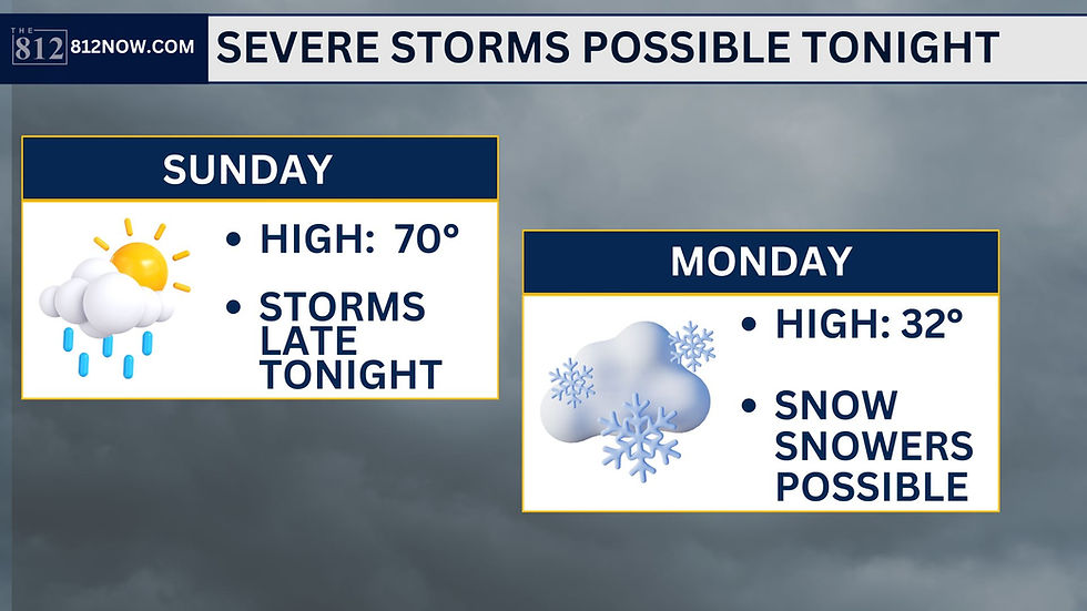
Temperatures are reaching 70 degrees on Sunday but it will be a far different story to start the work week.
There is a chance of snow showers on Monday with a high of just 32 degrees.
Tuesday will feel like winter before temperatures gradually warm up as the week continues.
Here is a future weather model provided by Weather Pulse. You can see more here.


.png)
%20663-2105.png)